How do I load spatial data into Google Earth/Google Maps?
Introduction
There are many examples of spatial data contained within the system, including fire, animal sightings, monitoring stations and plant surveys. This article describes how to export spatial data from the system and represent this information on Google Earth or Google My Maps.
Steps
Download Spatial Data from the System
-
Click on the [Reports] tab.

-
Click on the appropriate report title to run the report. In this article, fire data related to burning activities will be used as an example.

-
The report will output a KML file and a shapefile. Download the KML file by clicking on the link. The file will be downloaded to the 'Downloads' folder on your local machine.

-
Give the file an appropriate name and location.

Import Spatial Data to Google Earth Pro
-
Open Google Earth Pro on your device.
-
Click [File], then [Open]. Select the file created in section 1 of this article. Check that there is a blue 'tick' next to the spatial data to ensure that it will be represented on the map.

-
To style the features, right click on the layer and select [Properties]
-
Go to the [Style, color] tab to set the colour, line width and opacity settings.

-
Click on the 'Save image' icon in the top navigation area. Alternatively, click [File], [Save], then [Save Image].

-
The map area preview will now add a title, legend, a north orientation arrow and scale bar. Click on the 'Title' (top-left) and 'Legend' (top-right) areas to configure these fields.
-
When you have finished editing the image, click 'Save Image' to save the map as an image file.

Import Spatial Data to Google My Maps
-
In your web browser, navigate to 'Google My Maps'. Click the 'Create New Map' button in the top-left of the screen.

-
Give your map an appropriate title. Click the 'import' link below the first layer.

-
Click 'Select a file from your device'. Navigate to and select the file created in section 1 of this article.

-
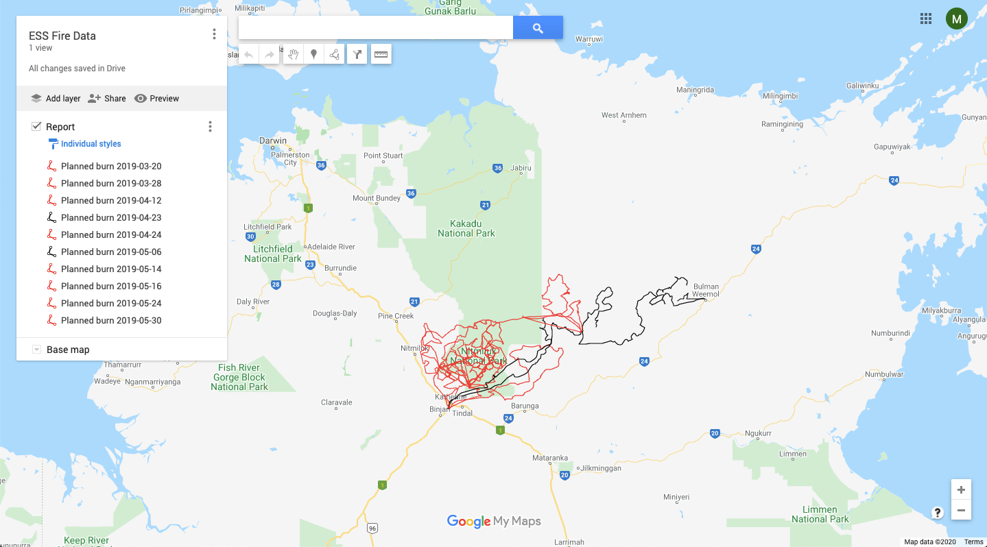
The spatial data contained within the file will then be shown on your map.
